Kerry Reserve Space Location Map
The Kerry Dark-Sky Reserve include only the following areas: Kells, Cahersiveen, Valentia Island, Portmagee, The Glen, Ballinskelligs, Dromid, Waterville and Caherdaniel. You can contact us here if you require any extra directions or have other queries.



| Name | Address | Description | |
|---|---|---|---|
| St. Finian's Bay | The Glen, Keel Co. Kerry, Ireland | The Glen more popularly known as Saint Finian's Bay | |
| Ballinskelligs | Ballinskelligs Co. Kerry, Ireland | | |
| Waterville, | Waterville Co. Kerry, Ireland | Waterville | |
| Dromid | Mastergeehy Co. Kerry, Ireland | Dromid | |
| Caherdaniel | Caherdaniel Co. Kerry, Ireland | Caherdaniel - exit point of the Kerry Dark-Sky Reserve if coming via the Killarney route | |
| Cahersiveen | Cahersiveen Co. Kerry, Ireland | Cahersiveen is the main shopping area of the Kerry Dark-Sky Reserve. | |
| Valentia Island | Valentia Island, Ireland | | |
| Kells | Kells Co. Kerry, Ireland | Kells is the main N70 entry point to the Kerry Reserve Space | |
| Portmagee | Portmagee Co. Kerry, Ireland | | |
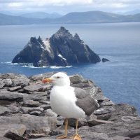
| Skelligs Islands - UNESCO world Heritage site | Skellig Islands, Ireland | UNESCO World Heritage site - Skellig Islands | |
+
-


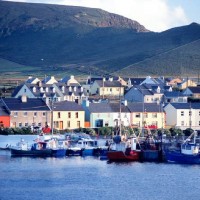
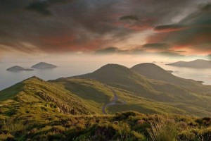 Scenic eye candy like you never imagined
 Delicious food, great pubs, taxi, bike and mini bus hire, hairdressers, doctors and dentists read